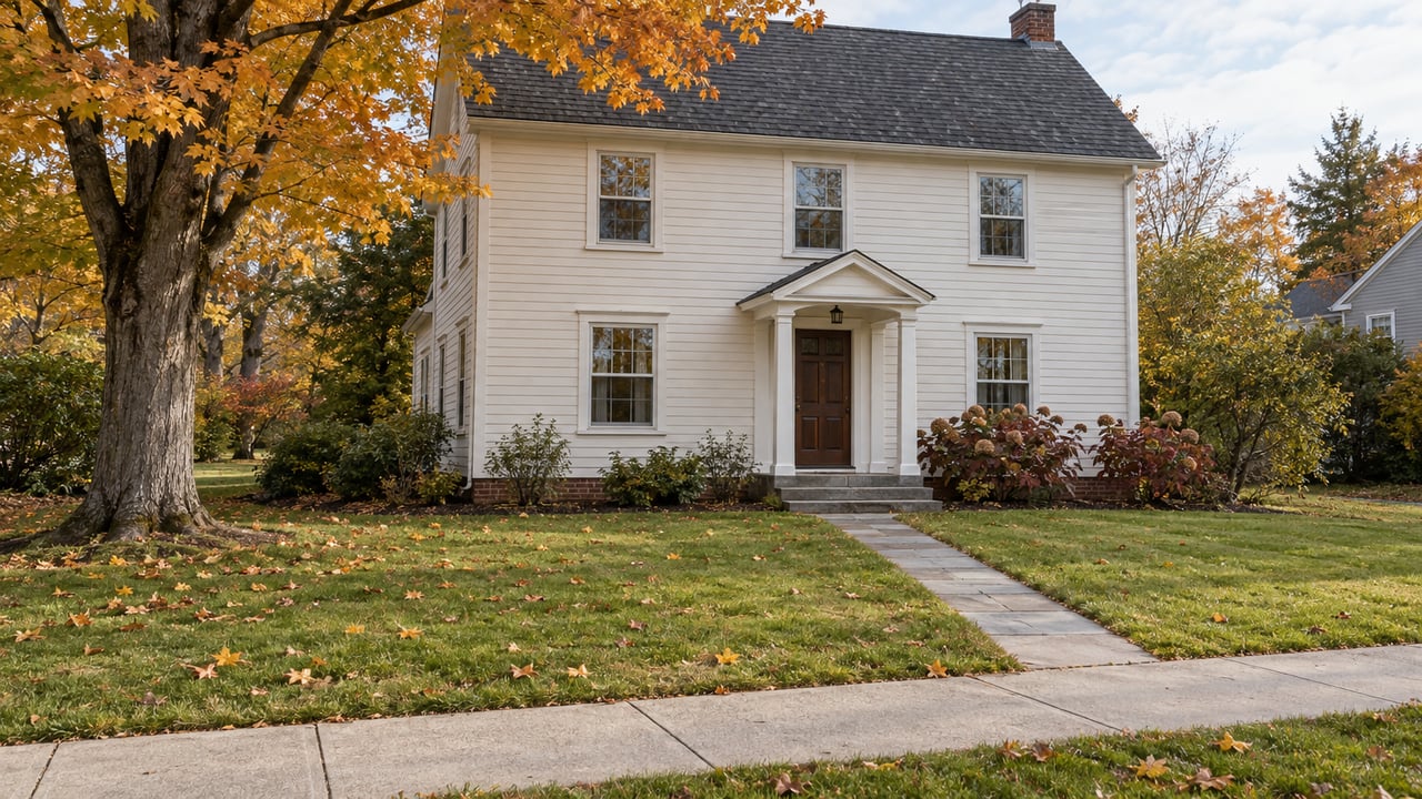
The Long House Creek Trail in Warwick took a few months to build and close to twenty years to make possible. The Town of Warwick got its first federal money for the trail through Rep. Sue Kelly almost 20 years ago. Then it spent years buying parcels one at a time, and one of them belonged to a private owner. Construction didn't start until early spring of 2025. The town had an October 1, 2025 deadline to use the federal funds or lose them, and Orange County covered the remaining cost. The ribbon was cut on September 29, two days before the deadline.
The same thing is true of the other walks Orange County opened in the fall of 2025. Each one sits on land assembled slowly over many years, and each one is a piece of a larger project that isn't finished. A year later, that is the useful thing to know before you go. The trails are open, and the work around them is still underway.
Warwick: a two-mile link with a steep end
The Warwick Advertiser's coverage of the opening describes the route. It starts at the trail entrance at Hickory Hills Golf Course and runs two miles through county- and town-owned land to a new parking area on Cascade Road. Samantha Walter, the town's parks and recreation director, suggested the name. Town Supervisor Jesse Dwyer singled out the new timber bridge over the creek as one of the trail's highlights. The Warwick Valley Dispatch reported that the bridge is 45 feet long, that there are benches at both trailheads, and that the route is clearly marked.
The direction you walk makes a difference. Dwyer rated the trail "moderate to difficult" because of a steep incline on the Cascade Road side. He also said most of it is easy, with no major obstacles. A two-mile trail through the woods couldn't be made ADA compliant, he said. If you start at Hickory Hills, the hard part comes at the end. If you start at Cascade Road, you get the climb out of the way first.
The opening coverage doesn't give dog or bike rules for this trail. Check with the Town of Warwick before you bring either.
Schunnemunk Meadows: twenty years of land under a gentle path
The Schunnemunk Meadows Trail opened on September 11, 2025, built by the Open Space Institute with New York State Parks and the Palisades Interstate Park Commission. Like Long House Creek, it rests on land that took a long time to put together. OSI says it protected more than 3,300 acres over two decades to create Schunnemunk State Park, including the 220 acres of wildflower meadows the trail now crosses.
The walk itself is much easier than Warwick's. It covers 1.7 miles on wide, gently sloping crushed stone, and OSI describes it as built for walkers, runners, cyclists, cross-country skiers and people of all abilities. The views take in Schunnemunk Mountain and the Moodna Viaduct, which OSI calls the second-highest and longest steel railroad bridge east of the Mississippi River. The $1.9 million project added seating, two spots with fishing access, information kiosks, a portable restroom, and two paved parking areas with electric vehicle chargers.
Close by, there is a second, quieter way in. The Courier Journal described the Moodna Creek Trailhead last November. It has its own lot at the end of Otterkill Road, just before the Taylor and Jackson intersections, with several accessible spaces. From the lot you have three choices:
- A short walk down to Moodna Creek itself.
- A loop heading southeast toward the trestle.
- A loop heading a little west before turning back south through the meadows, with the trestle in the distance.
According to New York State Parks, the park is open during daylight hours and park trails are reached from parking on Otterkill Road. Hikers may not cross the MTA rail corridor, and there are no trail connections across the tracks inside the park. With sunset coming earlier every week in October, plan the longer loops for earlier in the day.
The rail trail meant to connect the meadows to Chester
The Meadows trailheads are the north end of a much longer route that's still being built. Orange County describes the proposed Schunnemunk Rail Trail as a 10-mile multi-use path on the former Erie–Lackawanna Railroad corridor, running from the Moodna Trestle in Cornwall to Camp LaGuardia in Chester.
At a public session at Washingtonville Village Hall on January 15, 2026, the county posted sequenced maps of the whole route around the room. The Courier Journal walked through it. Starting from the Chester end, the trail would:
- cross Craigville Road, then Route 94 on a steel plate bridge, then Farmingdale Road and Old Dominion
- run through Blooming Grove alongside Route 94 to the Washingtonville line, crossing Moodna Creek
- cross Route 94 again near Washingtonville High School, just east of Sewell Park
- pick up the creek again in the woods behind the school, cross Route 208, and follow the Moodna to Orrs Mill and the trestle
At the north end, the route meets the Moodna Creek Trailhead and the Schunnemunk Meadows trailhead on Otterkill Road.
Several bridges along the route still need repair. In Washingtonville, the only current access points are near the village center at Route 208, behind the main Fulton Square building, and next to the back of May's Field. The Courier Journal expects access points and parking to be the public's biggest concerns. Surface was the other recurring debate at the session. Some residents wanted pavement and some didn't, and the paper described the answer as a mix of paved sections and crushed stone. Many of the comments came from parents worried about children riding bikes on busy roads.
The piece to watch this fall is Phase 1, a two-mile stretch from Camp LaGuardia to Craigville Road. In April, the Times Herald-Record reported that construction was underway and that the office of Orange County Planning Director Alan Sorensen expected it to be finished in fall 2026. That was a forecast. As of early October, we haven't found a confirmed opening or a ribbon cutting. Check the county's Schunnemunk Rail Trail project page before driving to Craigville Road. In January, the county was talking about roughly two years of work on the full route.
Laroe Road: the newest land, still without a name
The most recent opening is also the least finished. On October 27, 2025, County Executive Steve Neuhaus opened 57.5 acres at 245 Laroe Road in the Town of Chester. The land is part of the county's Sugar Loaf Mountain property acquisition. It has hiking and walking trails, a parking area, a picnic area, and two catch-and-release fishing ponds. Dogs are allowed on a leash, and the site is open dawn to dusk. Orange County Parks and Recreation led the project and handles upkeep, including regular mowing of the paths.
The county's announcement says the Sugar Loaf Mountain property "will continue to be developed thoughtfully over time." A formal name was promised for later, and until then the site goes by the Orange County Recreation Area at 245 Laroe Road, Chester. We haven't found an announced name yet. The county didn't give a trail length either, so this is a place for a pond loop and a picnic, not a set distance.
Which walk fits which afternoon
| Long House Creek Trail | Schunnemunk Meadows Trail | Recreation Area, 245 Laroe Road | |
|---|---|---|---|
| Town | Warwick | Schunnemunk State Park, Otterkill Road access | Chester |
| Opened | Sept. 29, 2025 | Sept. 11, 2025 | Oct. 27, 2025 |
| Length | 2 miles, one way | 1.7 miles | Not stated |
| Terrain | Mostly easy, steep near Cascade Road | Wide, gently sloping crushed stone | Mowed paths |
| Parking | Hickory Hills Golf Course, Cascade Road lot | Two paved lots with EV chargers | On-site lot |
| Dogs | Not stated in opening coverage | Not stated by the trail's builders | Leashed |
| Hours | Not stated | Daylight | Dawn to dusk |
| Still in progress | Finished | North end of the planned rail trail | Rest of the Sugar Loaf Mountain property |
For an easy walk with big views, Schunnemunk Meadows is the one to pick. Long House Creek is the better choice if you want a climb and a bridge. Laroe Road works for a dog on a leash, a fishing rod or a picnic blanket. All three opened within about seven weeks of each other last fall, and most of what's posted about them still comes from that opening coverage. Look for posted notices at the trailhead when you arrive.
If you're watching how these trail projects are changing the map around Chester, Blooming Grove, Washingtonville and Cornwall, Deal Navigation, the Shlomo Meisels Team follows that kind of local work closely. Contact us if you'd like to talk through what a new trail nearby could mean for a property you own or are considering.